2015/06/29

高麗川から海へ その38

DSC01287.JPG
DSC01286.JPG

manDisplay a current location and tracking map

 今日の川下りはここで終了!この区間も素晴らしかった。

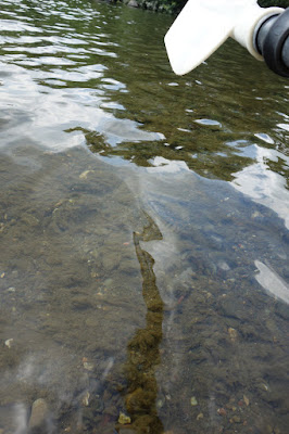
 見かけた動物は、カワセミ、サギ、ウ、鴨、無数の鯉と、姿のつかめない魚影が二種類。

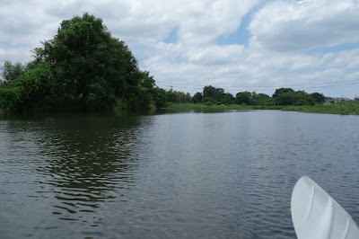
 陽光と曇り空が半々の空模様だった。

 I finish here today.

 What today I saw are kingfishers, snowy herons, cormorants, wild ducks, carps, and two shadow of some fishes.

 It was wonderful kayak trip.

Rough Odometer [Km]: 14

高麗川から海へ その37

DSC01285.JPG

manDisplay a current location and tracking map

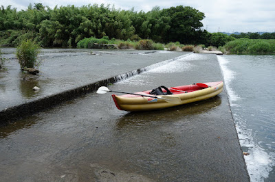
 中里堰を迂回するために、堰の上流で一旦岸へと上陸し、堰の下流側へとカヌーを肩に担いで運んだ。カヌーをもう一度流れに浮かべるために、岸から本流へと降りれる場所を探してみるが、見つけることができない。堰の下流側一杯に覆い茂っている草の間に、チョロチョロと細い水路が流れていたので、そこを歩いてカヌーを進めてみるものの、流れの先が草に飲み込まれていて、もうこれ以上進めない……

 There is no exit...

Rough Odometer [Km]: 13

高麗川から海へ その36

DSC01284.JPG
DSC01283.JPG

manDisplay a current location and tracking map

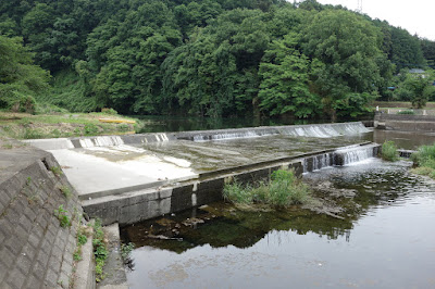
 今日六番目の堰となる中里堰だ。

  Today's sixth dam.

Rough Odometer [Km]: 13

高麗川から海へ その35

DSC01281.JPG
DSC01282.JPG

manDisplay a current location and tracking map

 ここにもカワセミがいた!

 Kingfisher is here!

Rough Odometer [Km]: 12

高麗川から海へ その34

DSC01279.JPG
DSC01280.JPG

manDisplay a current location and tracking map

 なんと木造の橋である!
 若宮橋という、増水時には水の下に沈むことを前提として作られた沈下橋である。

 この川には鯉が至るとこにいる。

 It's wooden bridge!

Rough Odometer [Km]: 12

高麗川から海へ その33

DSC01277.JPG

manDisplay a current location and tracking map

 わぉ、倒木が流れをふさいでいる。でも大丈夫。こういうのは専門家だから。

 Wow, fallen trees cover the stream. But, it's OK, I'm a professional of like that.

Rough Odometer [Km]: 11

高麗川から海へ その32

DSC01276.JPG

manDisplay a current location and tracking map

Rough Odometer [Km]: 10

高麗川から海へ その31

DSC01274.JPG

manDisplay a current location and tracking map

 今日五番目の堰となる五号堰。いやぁ、堰だらけだなぁ。
 
 カヌーの航行には辛いが、こうやって人間は米を作り、飯を食い生きるのだ。

 Fifth dam. Too many...
 This is the way that human eat and live with agriculture.

Rough Odometer [Km]: 10

高麗川から海へ その30

DSC01273.JPG

manDisplay a current location and tracking map

 涼しい柳の木陰にカヌーを漕ぎ入れて、水上で昼食だ。これがほんとうに気持ちいいのだよね。昼寝をするとさらに良い。

 I have a lunch on the water under the shade of a willow.

Rough Odometer [Km]: 10

高麗川から海へ その29

DSC01271.JPG

manDisplay a current location and tracking map

 今日四番目の堰。この堰の名前は分からず。

 The fourth dam.

Rough Odometer [Km]: 9

高麗川から海へ その28

DSC01270.JPG

manDisplay a current location and tracking map

 今日三番目の堰となる四号堰。これは困難だ。

 The third difficult dam.

Rough Odometer [Km]: 9

高麗川から海へ その27

DSC01269.JPG

manDisplay a current location and tracking map

Rough Odometer [Km]: 9

高麗川から海へ その26

DSC01268.JPG

manDisplay a current location and tracking map

 今日二番目の堰となる三号堰は簡単だった。

 The second dam is easy.

Rough Odometer [Km]: 8

高麗川から海へ その25

DSC01265.JPG

manDisplay a current location and tracking map

 今日最初の障害物となる下河原堰。

 Today's first barrier, a dam.

Rough Odometer [Km]: 8

高麗川から海へ その24

DSC01263.JPG
DSC01264.JPG
DSC01262.JPG

manDisplay a current location and tracking map

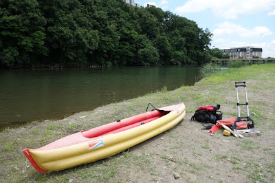
 城西大学下から、「高麗川から海へ」の第三区間を開始します。

 I am gonna continue a third leg of Komagawa kayaking.

Rough Odometer [Km]: 8

2015/06/14

高麗川から海へ その23

DSC01261.JPG

manDisplay a current location and tracking map

 ゴール!
 今日は城西大学下で終了。

 Goal! Today, I'm gonna finish under Josai University.

Approximate cumulative distance [Km]: 8.2

高麗川から海へ その22

DSC01259.JPG
DSC01260.JPG

manDisplay a current location and tracking map

 夕方になり、小魚が盛んに跳ねはじめた。

 Small fish begin to break the water toward evening.

Approximate cumulative distance [Km]: 8.0

高麗川から海へ その21

DSC01258.JPG

manDisplay a current location and tracking map

 今日三番目の関門となる、取水堰の二号堰。上陸ポイントがない!堰の構造物の中を直接移動するか。

 Today's third barrier, an intake dam. There is no landing point... So, I am going to move in the dam itself.

Approximate cumulative distance [Km]: 7.5

高麗川から海へ その20

DSC01257.JPG

manDisplay a current location and tracking map

 ウが群れている。

 Cormorant gather here.

Approximate cumulative distance [Km]: 7.2

高麗川から海へ その19

DSC01256.JPG

manDisplay a current location and tracking map

 はてさて、一号堰だ。上陸してまず荷物を迂回して運び、次にカヌーをえっちらおっちら。

 So, a dam cames. I have pulled up my kayak on the bank, now am carrying bags, and then am gonna carry a big one, kayak.

Approximate cumulative distance [Km]: 6.7

高麗川から海へ その18

DSC01255.JPG

manDisplay a current location and tracking map

 川の様子が大きく変わっていよいよ平野に入ったことが、水上の視点から感じ取れます。

 I see that I have entered into an area of plain.

Approximate cumulative distance [Km]: 6.3

高麗川から海へ その17

DSC01254.JPG

manDisplay a current location and tracking map

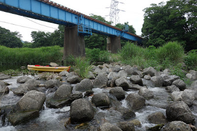
 カヌー最大の障害である人工物だ。八高線の陸橋下です。

 Biggest obstacle, artifact. It is a railroad bridge.

Approximate cumulative distance [Km]: 5.4